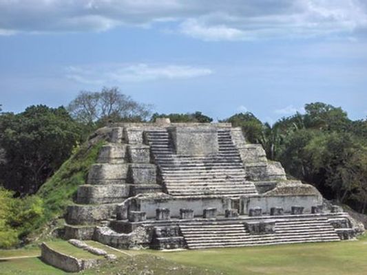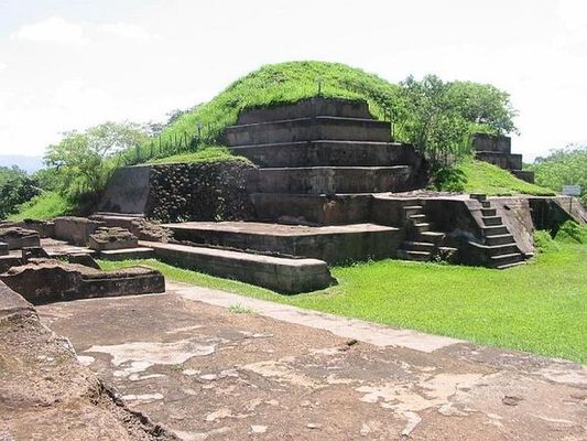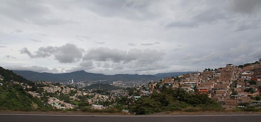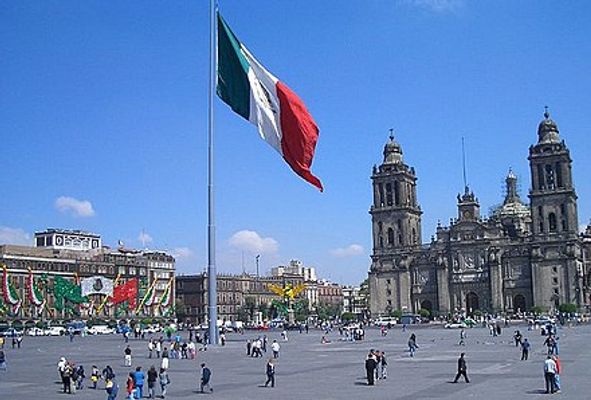
From Wikipedia: Guatemala is a country in Central America. It has borders to Mexico in the north/northwest, to Belize in the northeast, to Honduras in the southeast, to El Salvador in the south. It has a Pacific coastline to the southwest, and a tiny piece of Caribbean coastline to the east. Guatemala is very tough land. You can experience volcanic activity, seismic activity (earthquakes, mudslides), and hurricanes.
find another country
Tikal National Park
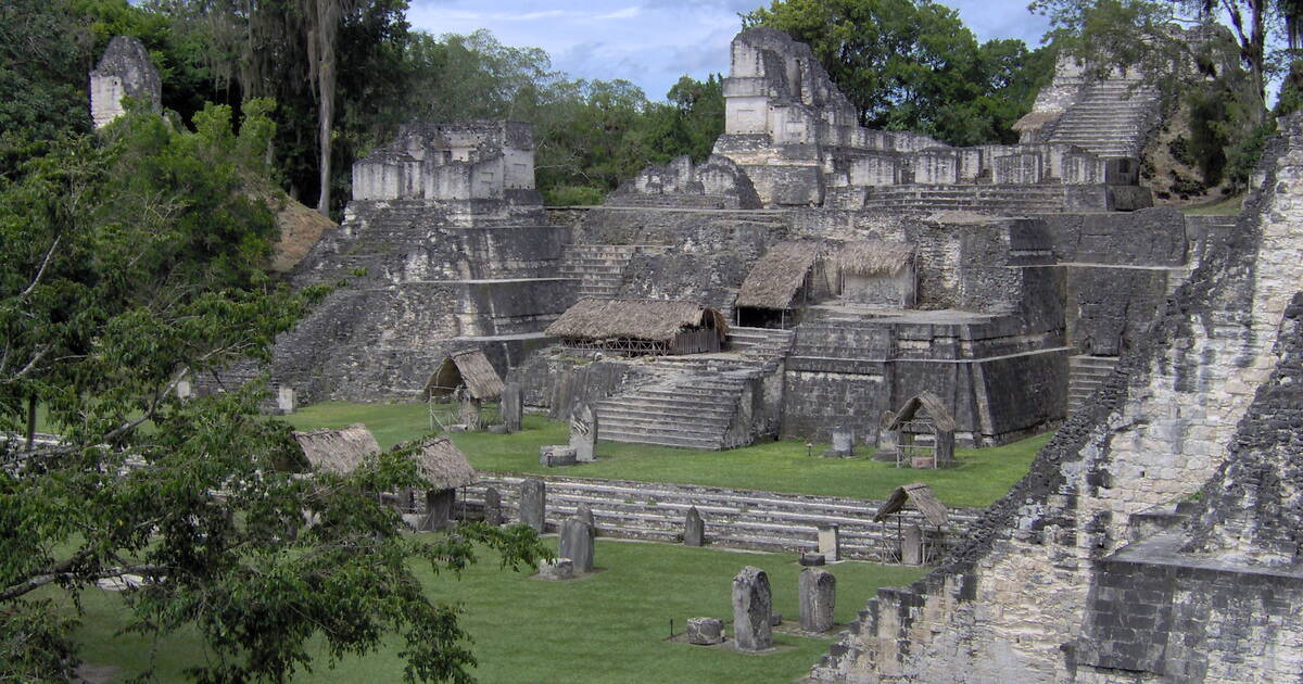
In my opinion this is one of the wonders of the world. In the heart of the jungle, surrounded by lush vegetation, lies one of the major sites of Mayan civilization, inhabited from the 6th century B.C. to the 10th century A.D. The ceremonial centre contains superb ... [image from whc.unesco.org]

Guatemala: Camping Next To Volcanoes

Camping amidst two active volcanoes in Xela, Guatemala. How to get there and what it's like to camp right next to a steaming volcano. [image from GoNOMAD Travel]

Lake Atitlán

[from en.wikipedia.org]: Lake Atitlán is a lake in the Guatemalan Highlands of the Sierra Madre mountain range. The lake is located in the Sololá Department of southwestern Guatemala. It is known as the deepest lake in Central America.

A Trip To Chichicastenango | Guatemala's Explosively Colorful Market — The Truth Traveller

Chichicastenango Market in Guatemala is one of the biggest and most beautiful markets in Central America, the world even. It has long been a trading post and place of value for the Mayan people and represents a sort of all-encompassing independence from the way they sell their goods to the way they [image from The Truth Traveller]

Yaxha

[from en.wikipedia.org]: Yaxha is a Mesoamerican archaeological site in the northeast of the Petén Basin in modern-day Guatemala. As a ceremonial centre of the pre-Columbian Maya civilization, Yaxha was the third largest city in the region and experienced its maximum power during the Early Classic period. The city was located on a ridge overlooking Lake Yaxha. The name of the city derives from the Mayan for "blue-green water"; it is a notable survival of a Classic period place-name into the modern day. The Yaxha kingdom is estimated to have covered an area of 237 square kilometres (92 sq mi) and to have had a peak population of 42,000 in the Late Classic period of Mesoamerican chronology.

Cultural Triangle Yaxha-Nakum-Naranjo National Park

[from en.wikipedia.org]: The Cultural Triangle Yaxha-Nakum-Naranjo National Park is a multidisciplinary project involving archaeologists, architects, restaurateurs, and biologists. It is situated in Petén, Guatemala. The project does not only work in one archaeological site, but in a region of 1,200 square kilometres (460 sq mi) including three gigantic sites and 14 sub-centers – the most populated area of the Classic period of the Maya civilization.

El Perú (Maya site)

[from en.wikipedia.org]: El Perú, is a pre-Columbian Maya archeological site occupied during the Preclassic and Classic cultural chronology periods. The site was the capital of a Maya city-state and is located near the banks of the San Pedro River in the Department of Petén of northern Guatemala. El Perú is 60 km (37 mi) west of Tikal.

Guatemala City
Average temperatures
Jan
24.3°C13.2Precipitation: 2.8 mm
Feb
25.8°C13.6Precipitation: 5.4 mm
Mar
26.8°C14.6Precipitation: 6 mm
Apr
27.8°C16Precipitation: 31 mm
May
27.1°C16.8Precipitation: 128.9 mm
Jun
25.8°C16.8Precipitation: 271.8 mm
Jul
25.4°C16.3Precipitation: 202.6 mm
Aug
25.5°C16.5Precipitation: 202.7 mm
Sep
25.1°C16.4Precipitation: 236.6 mm
Oct
24.7°C16Precipitation: 131.6 mm
Nov
24.2°C14.7Precipitation: 48.8 mm
Dec
23.9°C13.7Precipitation: 6.6 mm

Antigua Guatemala
Average temperatures
Jan
22.5°C10.8Precipitation: 1 mm
Feb
23.4°C11.1Precipitation: 3 mm
Mar
24.7°C11.9Precipitation: 4 mm
Apr
25°C13.3Precipitation: 25 mm
May
24.7°C14.3Precipitation: 118 mm
Jun
23.6°C15.3Precipitation: 231 mm
Jul
23.5°C14.6Precipitation: 170 mm
Aug
23.8°C14.3Precipitation: 141 mm
Sep
23.1°C14.4Precipitation: 220 mm
Oct
22.7°C13.9Precipitation: 131 mm
Nov
22.8°C12.7Precipitation: 16 mm
Dec
22.3°C11.3Precipitation: 5 mm

Panajachel
Average temperatures
Jan
25.6°C12.3Precipitation: 2 mm
Feb
25.6°C12Precipitation: 15 mm
Mar
26.6°C12.9Precipitation: 15 mm
Apr
26.1°C13.6Precipitation: 48 mm
May
25.9°C14.3Precipitation: 137 mm
Jun
23.7°C14.6Precipitation: 355 mm
Jul
24.8°C14.4Precipitation: 174 mm
Aug
24.9°C14.1Precipitation: 185 mm
Sep
24.3°C14Precipitation: 328 mm
Oct
24.6°C14Precipitation: 182 mm
Nov
25.2°C13Precipitation: 38 mm
Dec
25.4°C12.1Precipitation: 11 mm

Quetzaltenango
Average temperatures
Jan
22°C2.3Precipitation: 1.8 mm
Feb
23.5°C2.9Precipitation: 5.5 mm
Mar
25.5°C3.9Precipitation: 14.4 mm
Apr
23.8°C6.3Precipitation: 41.2 mm
May
23.1°C8.8Precipitation: 131.6 mm
Jun
21.9°C9.3Precipitation: 147.8 mm
Jul
21.9°C8.2Precipitation: 98.7 mm
Aug
22.1°C8.5Precipitation: 107 mm
Sep
20.9°C9Precipitation: 134.7 mm
Oct
21.7°C8.4Precipitation: 93.6 mm
Nov
21.3°C6Precipitation: 18.7 mm
Dec
22.1°C2.8Precipitation: 7.1 mm

Tikal
Average temperatures
Jan
22°C17Precipitation: 99 mm
Feb
24°C19Precipitation: 93 mm
Mar
26°C19Precipitation: 60 mm
Apr
28°C21Precipitation: 38 mm
May
28°C22Precipitation: 237 mm
Jun
26°C22Precipitation: 296 mm
Jul
25°C20Precipitation: 224 mm
Aug
25°C20Precipitation: 276 mm
Sep
24°C21Precipitation: 309 mm
Oct
23°C19Precipitation: 311 mm
Nov
23°C18Precipitation: 157 mm
Dec
22°C18Precipitation: 153 mm

Flores (Guatemala)
No climate information available.

Melchor de Mencos
No climate information available.

Puerto Barrios
No climate information available.

Puerto San José
No climate information available.

Sayaxché
No climate information available.

Semuc Champey
No climate information available.

Monterrico
No climate information available.

Iximche
No climate information available.


